Over 1500geological features mapped to date
Trusted by leading operations at:


RockMass Mapping solutions are designed to deliver the highest quality data to drive safer, smarter, and more efficient mining operations.
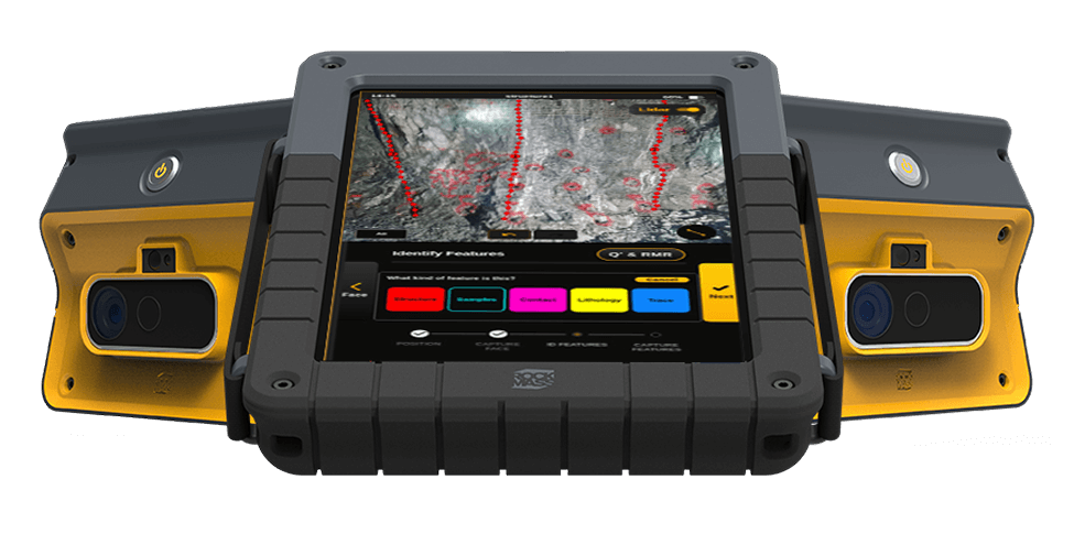
RockMass Eon is a LiDAR-based geotechnical and geological mapping tool engineered to capture accurate, high-quality data for underground mining operations.
As-Built Ground Support Data
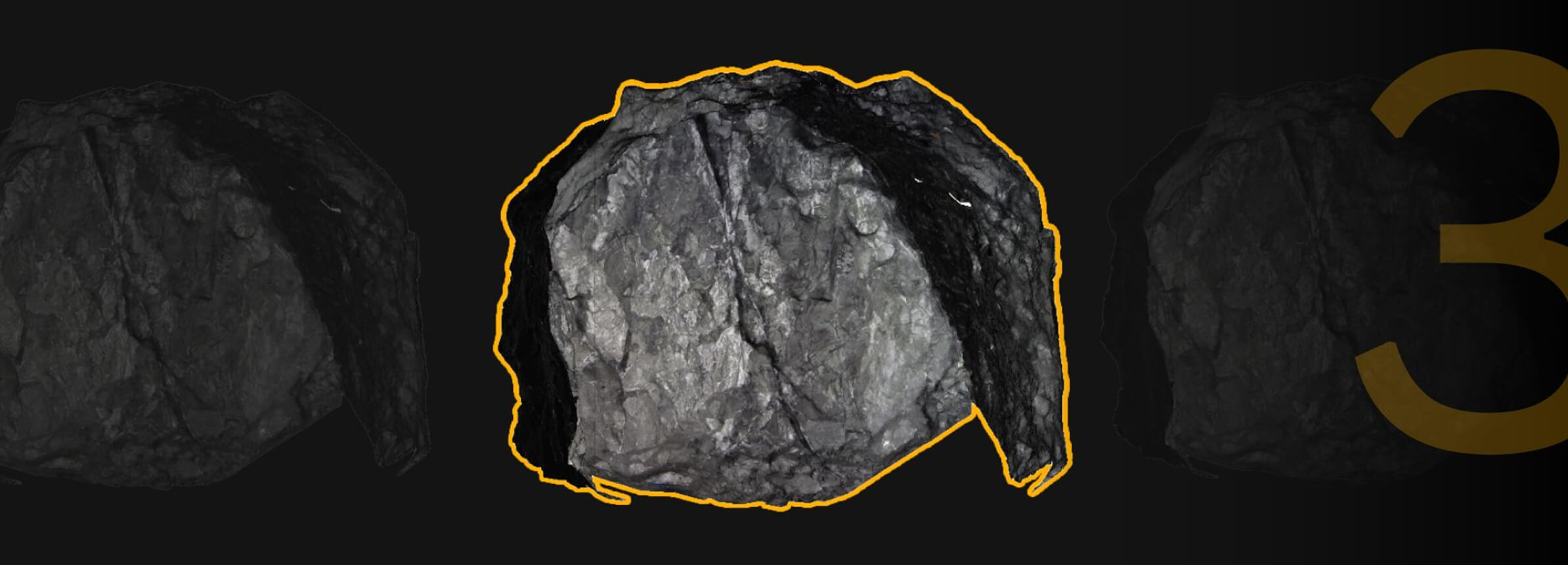
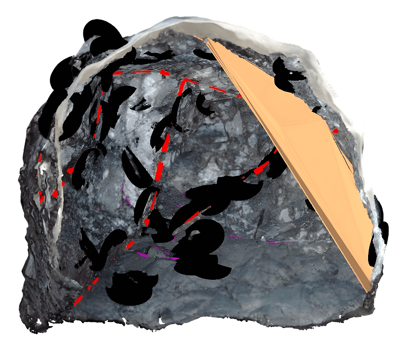
Structural Mapping and Measurements
Localized Geological Data
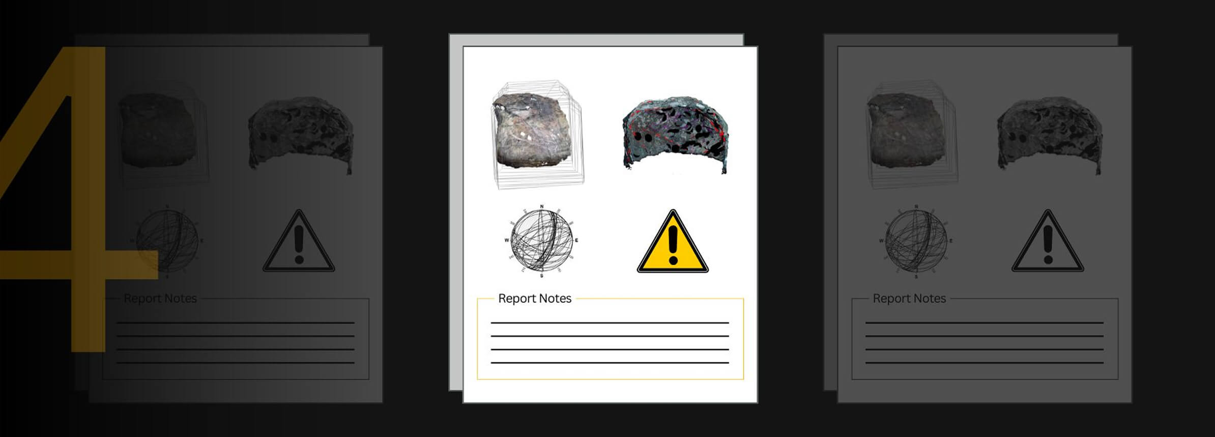
Designed for Critical Decisions
Make the most of your data
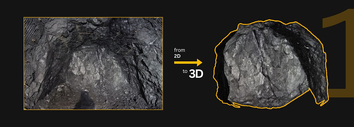
We leverage existing point clouds from underground environments, and use our mapping service to create actional insights and reports
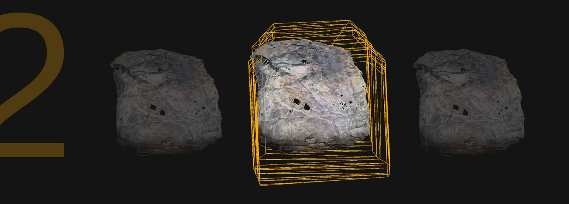
Georeference

Process

Map

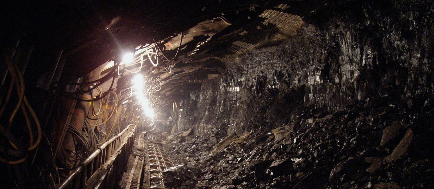
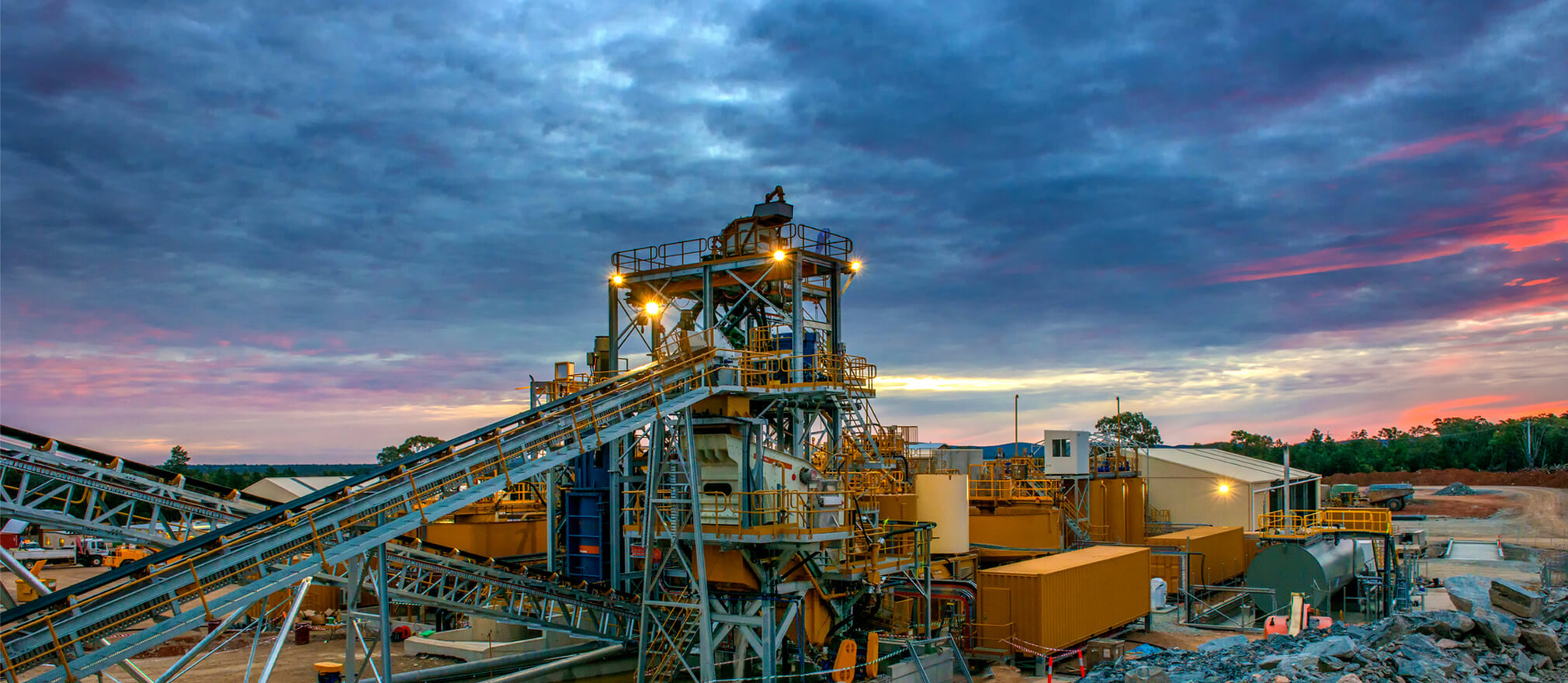
Tunnelling - Geotechnical Mapping
We're able to identify potential hazards and make data-driven decisions that improve safety and efficiency on site
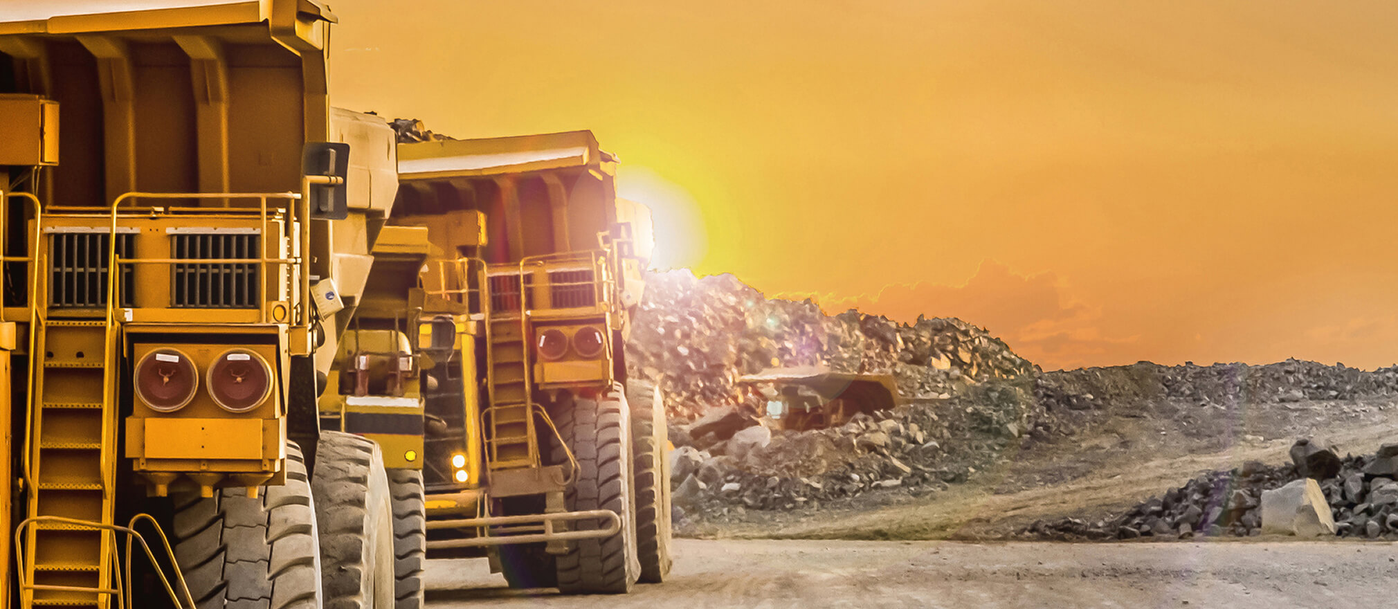
Mining - Geological Mapping
We’ve seen a massive shift in how data is collected. With tools like RockMass Eon, geologists now have access to more accurate,
real-time data without the inefficiencies of manual mapping.
Mining - Accurate data
"Integrating geological data into Leapfrog Geo has never been easier—real-time updates ensure decisions are based on the latest, most accurate data."
Mining - Digital Trace Mapping
Digital mapping is transforming how we work underground—
capturing more data, more accurately, in less time.”
RockMass TechTalks: Tunnelling into the Future
As a tunneling professional, I cannot understate the value of working in an iterative feedback loop with tech companies like RockMass to make sure that the solutions they're developing are useful to the practicing engineer, geologist, or field crew.
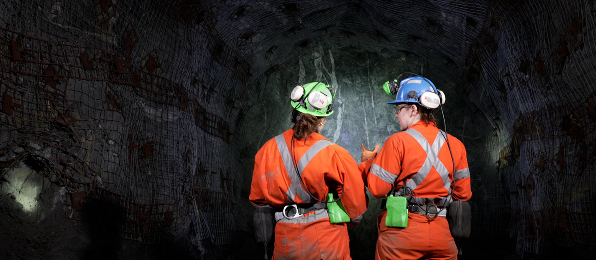
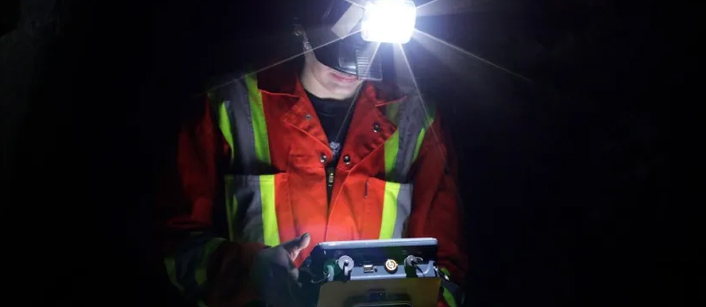
Decision-Making Underground
Mining and tunnelling are no longer data-poor industries. The winners will be those who master the art of translating unruly datasets into actionable intelligence, delivering insights to the right person, at the right time, in the right format.
We enable mines to leverage available point cloud data, streamline operations, and unlock millions in additional profit
Stope Design Optimization

Enhance precision in stope design with actionable insights from high-quality point cloud data, reducing over break and dilution.
Ground Support Optimization

Streamline ground support planning with data-driven analysis to improve safety and operational efficiency.
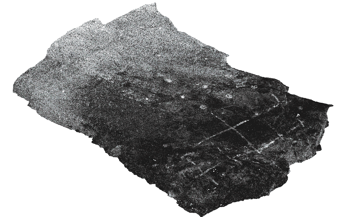
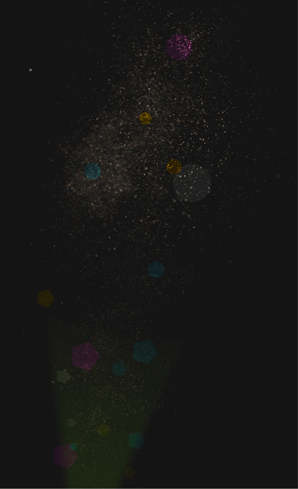
Localized Geological Data

Capture high-precision geological data for seamless geomechanical modelling, rock mass evaluation, and reliable analysis.
Structural Mapping

Accurately identify and analyze geological structures for informed decision-making in mine planning and operations.
Ground Support As-Built Records

Maintain comprehensive records of installed ground support, ensuring compliance and enhancing operational transparency.
Block Model Optimization

Refine resource estimates and maximize ore recovery with precise, data-enhanced block modeling techniques.
Leapfrog
Seamlessly update your models with structured RockMass data.
Import georeferenced, attributed meshes and polylines directly into Leapfrog for up-to-date geological models.
Deswik Spatial
Streamline mine design with structured geological data.
RockMass delivers ready-to-use datasets for stope design, ground support planning, and ore delineation in Deswik.
Rocsience Dips and Unwedge
Instantly visualize structural data for geotechnical analysis.
RockMass provides ready-to-use stereographic plots and kinematic inputs in Dips & Unwedge—no manual adjustments needed.
ITASCA FLAC3D & 3DEC
Enhance geomechanical modeling with structured data.
Import georeferenced structural datasets for stress modeling, ground stability, and excavation analysis.
The challenge isn’t collecting scans or point clouds. It’s transforming raw data into structured, auditable insights that teams can act on.

Make the underground visible
Stay ahead with our monthly bulletin—get case studies, product updates, and event news.